Image Processing
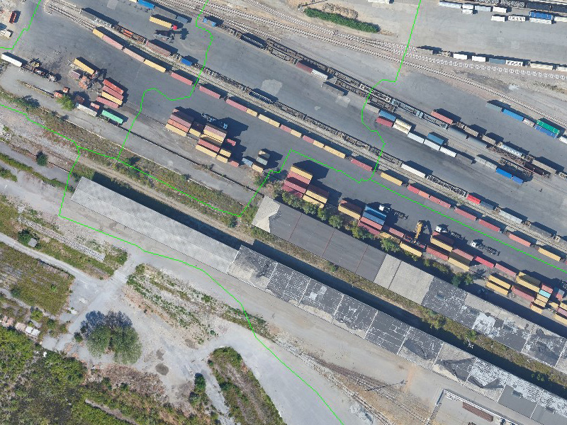
GeoSpectrum offers geospatial solutions for extracting otherwise inaccessible information from both satellite and aerial images through advanced technologies and analytical methods. Moreover, we excel in georectifying images to enhance positional accuracy, ensuring reliable geographical coordinates for Earth's features, performing image classification, and enhancing overall visibility.
SERVICES ARE:
- Geometric Correction
- Radiometric Correction
- Image Classification (NDVI)
- Change Detection
- Spectral Analysis
- Ortho-rectification


